Page 14 - IT Strategic Plan 2023-2025
P. 14

GEOGRAPHIC


                                   INFORMATION


                                                            SYSTEMS


                       2                                          Leverage GIS to empower the


                                                                organization to make informed,

                                                                               data-driven decisions.


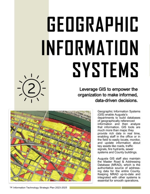
                                                                                 Geographic Information Systems
                                                                                 (GIS) enable Augusta’s
                                                                                 departments  to  build  databases
                                                                                 of geographically referenced
                                                                                 information  and  then  analyze
                                                                                 that  information.  GIS  tools  are
                                                                                 much more than maps: they
                                                                                 provide  rich  data  in  real  time,
                                                                                 enabling  staff  in  the  office  or  in
                                                                                 the field to easily locate, monitor,
                                                                                 and  update  information  about
                                                                                 key assets like roads, traffic
                                                                                 signals, fire hydrants, sewer
                                                                                 systems and County buildings.

                                                                                 Augusta  GIS  staff  also  maintain
                                                                                 the  Master  Road  &  Addressing
                                                                                 Database  (MRAD),  which  is  the
                                                                                 authoritative  source  of  address-
                                                                                 ing  data  for  the  entire  County.
                                                                                 Keeping  MRAD  up-to-date  and
                                                                                 integrated with other systems is
                                                                                 essential for smooth operations.


         14   Information Technology Strategic Plan 2023-2025
   9   10   11   12   13   14   15   16   17   18   19